Every Single Street Bernal Heights [Insert Your City]
- Allison Slater
- Dec 28, 2023
- 2 min read
Updated: Aug 9, 2024
Every Single Street is a project conceived by the one and only Rickey Gates and is an adventure you can do in your own backyard.
Using running (or hiking) as an means to get to know a place more intimately, whether that be your own city or neighborhood, you can decide just how large a project you want to take on.
I ran #everysinglestreet in the Bernal Heights neighborhood of San Francisco over the course of about two years, totaling 53 miles and 8,782 feet of elevation gain. Bernal is chock full of secret gardens, beautiful staircases, and clever murals, and I loved getting to know the funky side streets and hidden alleys I'd never known existed.

Hundreds across the world have taken up Every Single Street attempts (or #ESS as seen on instagram and Strava) to map their favorite places. During the most restricted parts of the pandemic, I decided to run every single street in our exceptionally hilly and quirky Bernal Heights neighborhood of San Francisco.


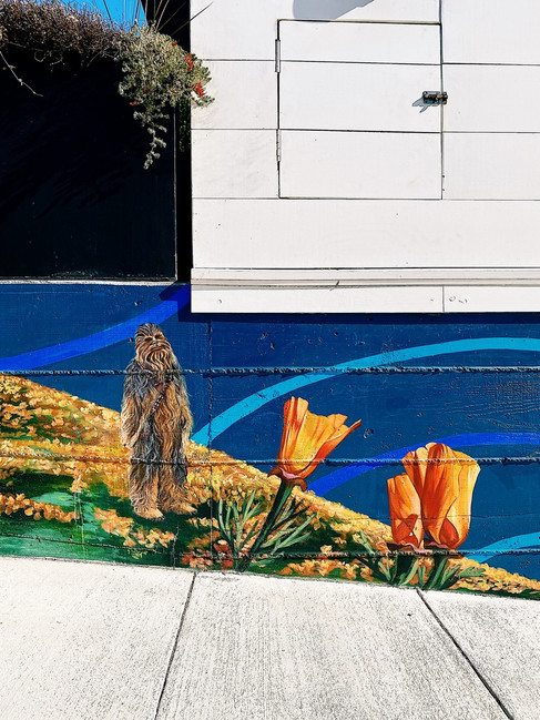
Snaps of Bernal Heights, San Francisco while running Every Single Street
I thoroughly enjoyed mapping out my #ESS runs. It was an fun exercise to plan out each route; Bernal is particularly complex given the ridiculous number of dead end streets. Every Single Street is also a unique and different way to train without running the same loop on repeat. If you live somewhere hilly like Bernal (I'm talking inclines exceeding 12%) it's also an easy way to get in your hill repeats.
Rickey Gates runs Every Single Street:
Rickey, who has run Every Single Street across San Francisco, Zurich, Mexico City, Portland, and Santa Fe created a beautiful website detailing his experiences. He also provides his own trips and tricks on planning your project here.
His inaugural #ESS adventure across San Francisco (a whopping 1,317 miles) was beautifully captured in this video:
My Tips on Planning and Mapping your #ess Adventure:
I relied on Strava Heatmaps (requires a paid membership) to see what I'd already run and track progress.
I used the Strava "create route" feature to curate the route and distance I wanted to run in a given day to cover new ground.
If you're using Strava, I suggest tagging your runs with #ESS or any unique identifier so that you can easily filter them in your heatmap, especially if you'd like to exclude other runs from the final map. This also allows you to export the data and quickly add up mileage for any #ess-specific runs.
